(1).png)
Precision Agriculture
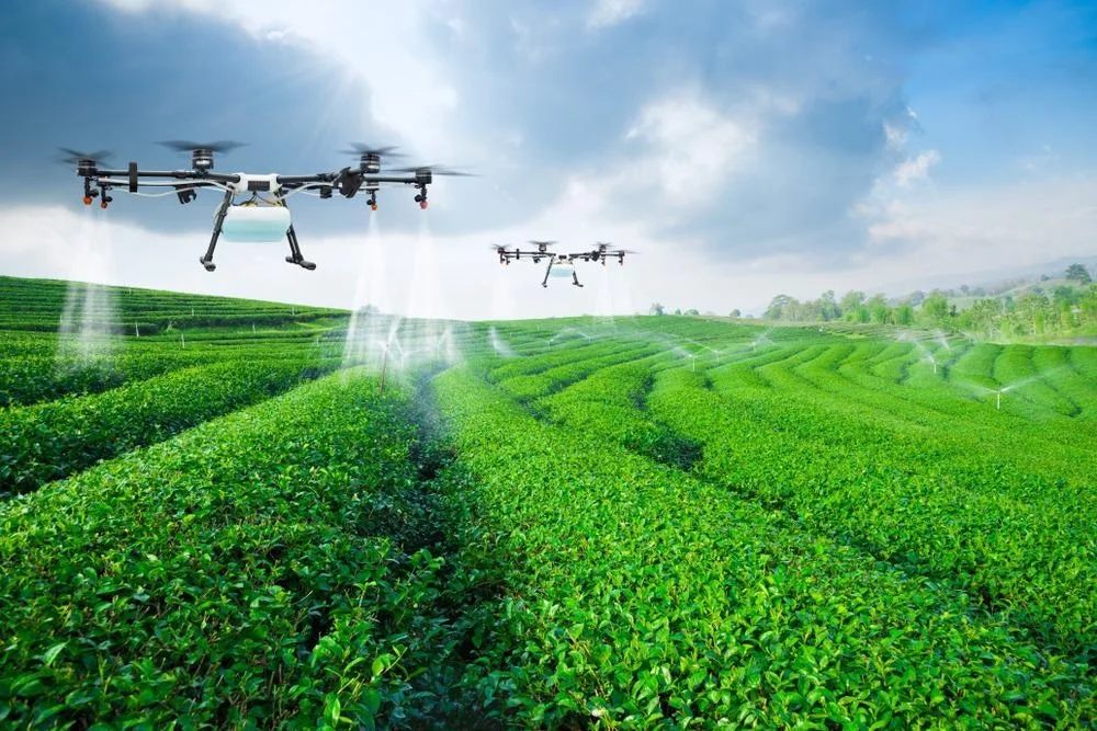
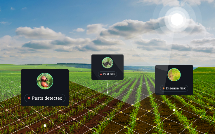
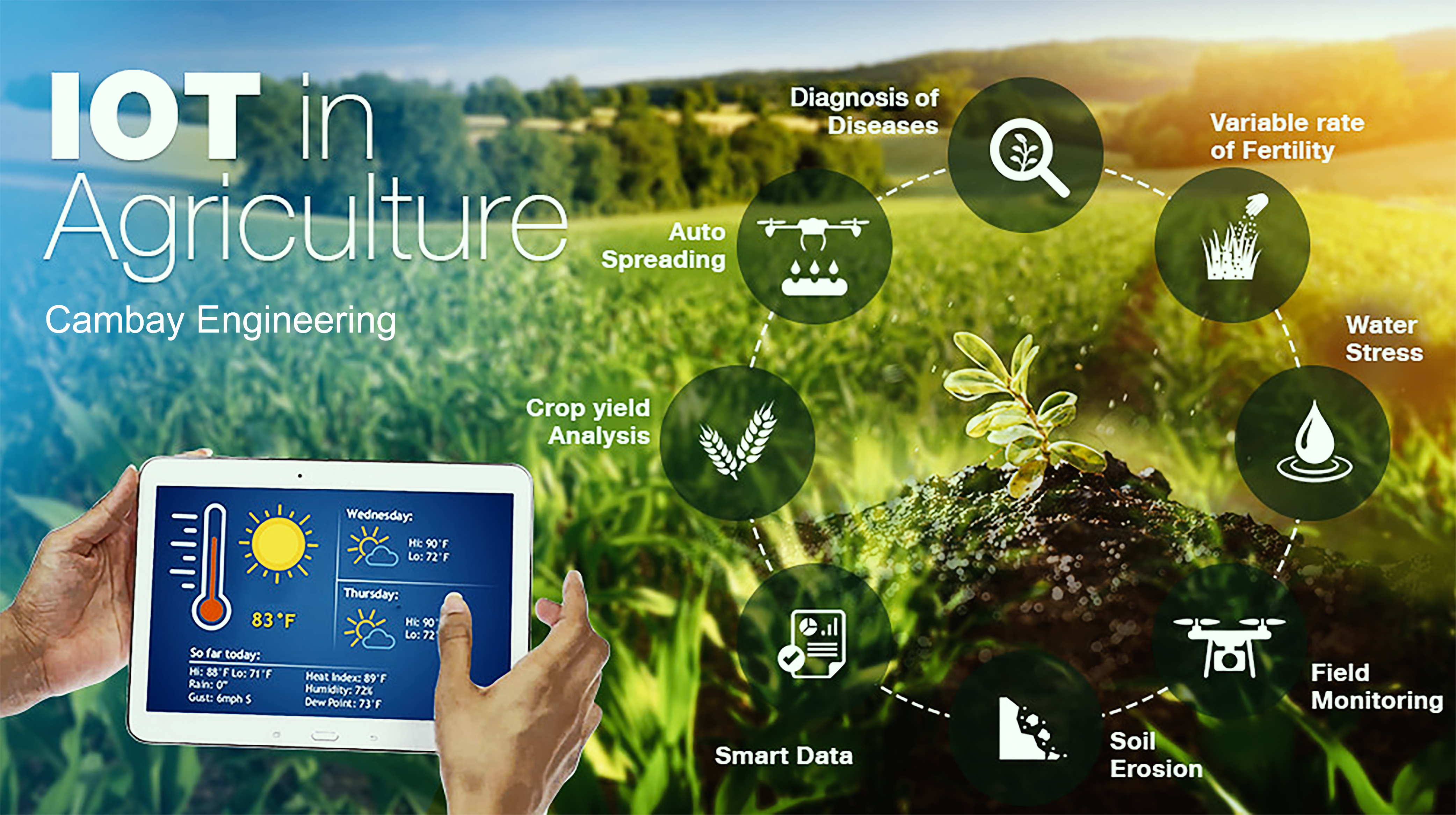
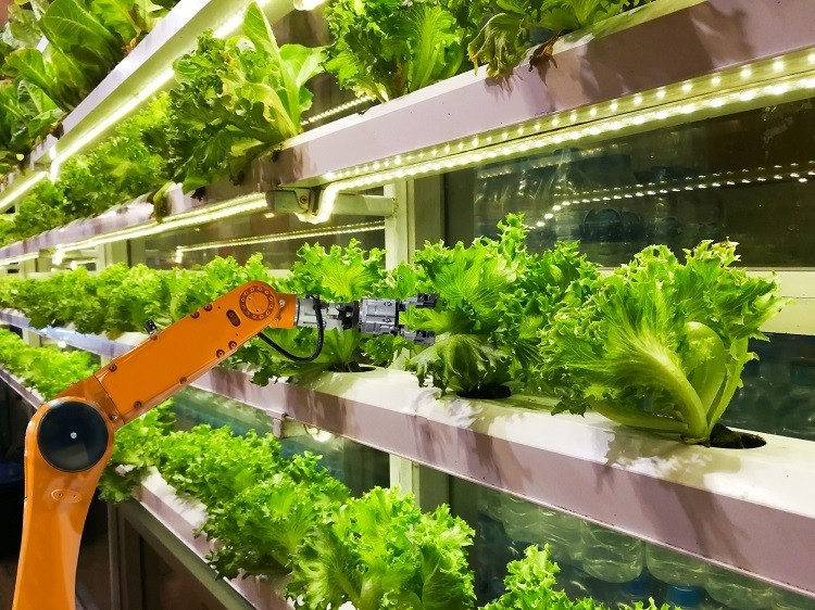
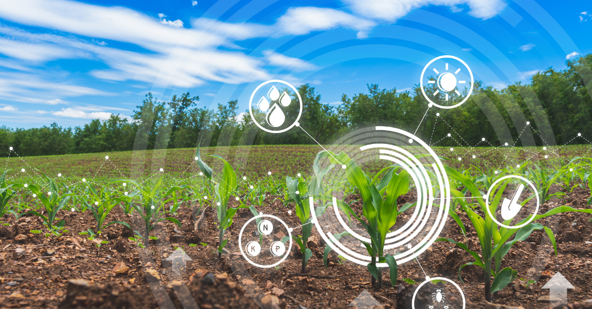
Precision agriculture represents a data-driven approach to farming that leverages modern technologies to optimize field-level management. This method relies on the integration of several key technologies: Global Positioning System (GPS): GPS technology allows farmers to precisely determine the location of their farming equipment and monitor their movements in real-time. This data is invaluable for tasks such as accurate planting, harvesting, and navigation. Geographic Information Systems (GIS): GIS software is employed to create detailed maps of agricultural fields. These maps provide valuable insights into soil composition, topography, and other critical factors, helping farmers make informed decisions about crop management. Remote Sensing: Remote sensing technologies, including satellite imagery and aerial drones, are utilized to collect vast amounts of data about crop health, moisture levels, and overall field conditions. This data assists farmers in identifying potential issues early on, such as pest infestations or nutrient deficiencies.